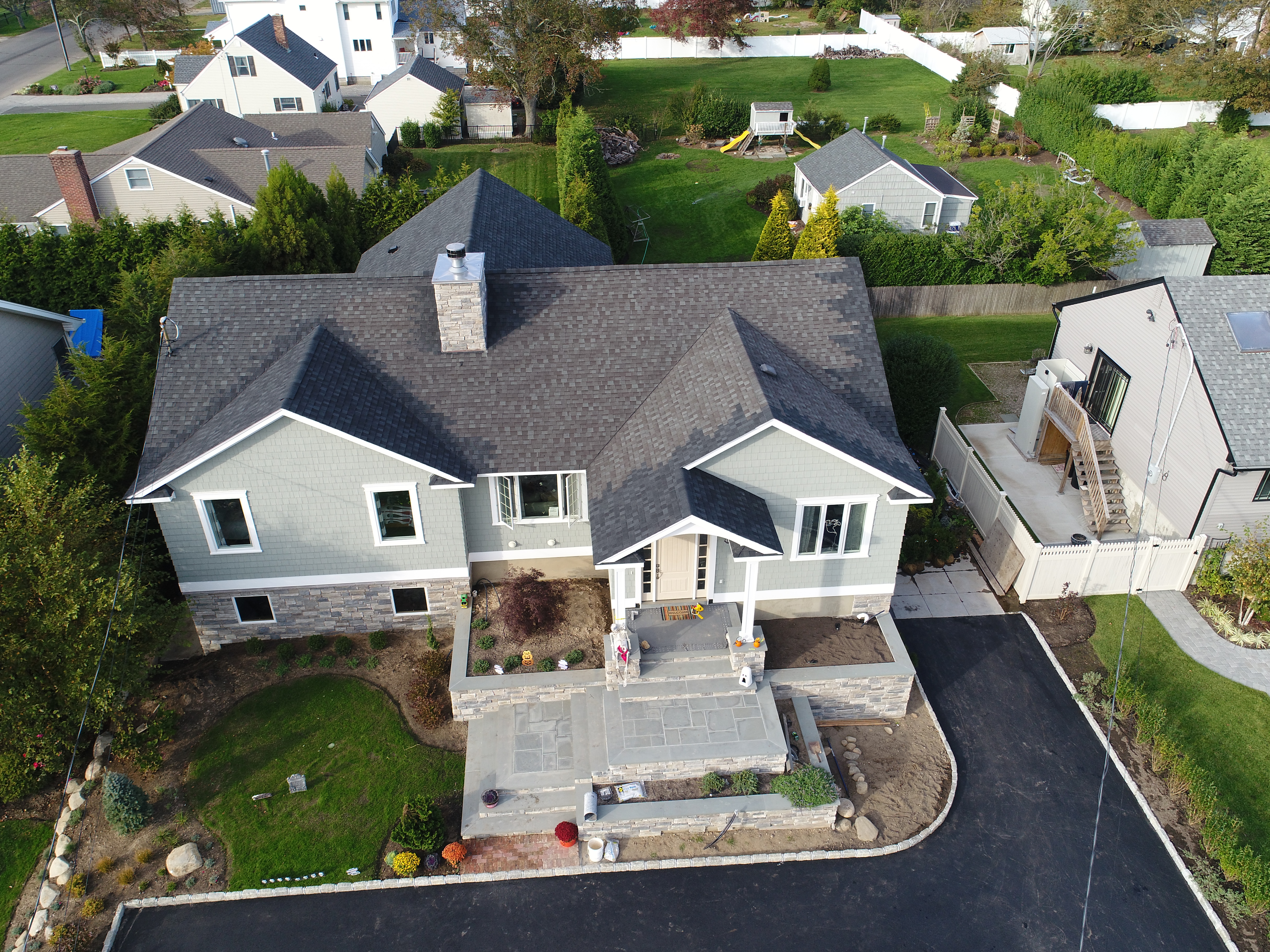
We can capture high-res images of your project and 3D maps that can be exported into 3rd party software that can be used in surveys, plans, topo maps, etc. Use them to show your client what the project will look like when its done, before you even begin construction! Great for landscape design, construction and site surveys.